Payment Detail
Served by
WEBSERVER-2
Sheridan County
0
Parcel
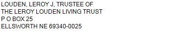
Name
Legal
0810046563
S1/2SE1/4, SE1/4SW1/4 20-24-43 (123.69 AC)
123.690 ACRES
S1/2SE1/4, SE1/4SW1/4 20-24-43 (123.69 AC)
123.690 ACRES
Parcel
Name/Legal Description
0810046563
S1/2SE1/4, SE1/4SW1/4 20-24-43 (123.69 AC)
123.690 ACRES
Payment Information
If the following information is correct click on Add to Cart.
Parcel Information
Tax Information
Tax District
290
Gross Tax Assessed
$ 481.68
Levy
0.89095300
Exemption/Credit
$ 72.20
Value
$ 54,064
Net Tax
$ 409.48
Tax Sale(s)
Tax Information
Statement Number
2023-4404 (PP)
Tax District
290
Levy
0.89095300
Value
$ 54,064
Gross Tax Assessed
$ 481.68
Exemption/Credit
$ 72.20
Net Tax
$ 409.48
Tax Sale(s)
Year: 2023 Statement: 4404
Real Estate Tax
Second Payment
204.74
Total Payment
204.74
Payment Information
Second Payment
204.74
Total Payment
204.74