Payment Detail
Served by
WEBSERVER-2
Sheridan County
0
Parcel
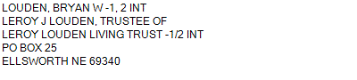
Name
Legal
0810046814
S1/2, E1/2NE1/4 28-24-43 (401.43 AC)
401.430 ACRES
S1/2, E1/2NE1/4 28-24-43 (401.43 AC)
401.430 ACRES
Parcel
Name/Legal Description
0810046814
S1/2, E1/2NE1/4 28-24-43 (401.43 AC)
401.430 ACRES
Payment Information
If the following information is correct click on Add to Cart.
Parcel Information
Tax Information
Tax District
290
Gross Tax Assessed
$ 2,536.60
Levy
0.89095300
Exemption/Credit
$ 351.02
Value
$ 284,705
Net Tax
$ 2,185.58
Tax Sale(s)
Tax Information
Statement Number
2023-4364 (PP)
Tax District
290
Levy
0.89095300
Value
$ 284,705
Gross Tax Assessed
$ 2,536.60
Exemption/Credit
$ 351.02
Net Tax
$ 2,185.58
Tax Sale(s)
Year: 2023 Statement: 4364
Real Estate Tax
Second Payment
1,092.79
Total Payment
1,092.79
Payment Information
Second Payment
1,092.79
Total Payment
1,092.79