Payment Detail
Served by
WEBSERVER-2
Sheridan County
0
Parcel
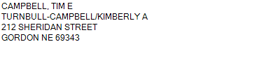
Name
Legal
0810038552
S1/2 & S1/2S1/2N1/2 9-31-41 (398.83 AC)
398.830 ACRES
S1/2 & S1/2S1/2N1/2 9-31-41 (398.83 AC)
398.830 ACRES
Parcel
Name/Legal Description
0810038552
S1/2 & S1/2S1/2N1/2 9-31-41 (398.83 AC)
398.830 ACRES
Payment Information
If the following information is correct click on Add to Cart.
Parcel Information
Tax Information
Tax District
20
Gross Tax Assessed
$ 2,493.50
Levy
1.36227200
Exemption/Credit
$ 244.46
Value
$ 183,040
Net Tax
$ 2,249.04
Tax Sale(s)
Tax Information
Statement Number
2023-1034 (PP)
Tax District
20
Levy
1.36227200
Value
$ 183,040
Gross Tax Assessed
$ 2,493.50
Exemption/Credit
$ 244.46
Net Tax
$ 2,249.04
Tax Sale(s)
Year: 2023 Statement: 1034
Real Estate Tax
Second Payment
1,124.52
Total Payment
1,124.52
Payment Information
Second Payment
1,124.52
Total Payment
1,124.52